Category: Surveying and Location
-
Bosch GLM400CL laser distance finder
Laser distance finders have been around for several years and have become quite popular for measuring building interiors. Their only drawback is they don’t do well at distances or outside because the laser dot can be hard to see. Bosch has come up with a solution that’s perfect for outdoor work, commercial construction and big…
-
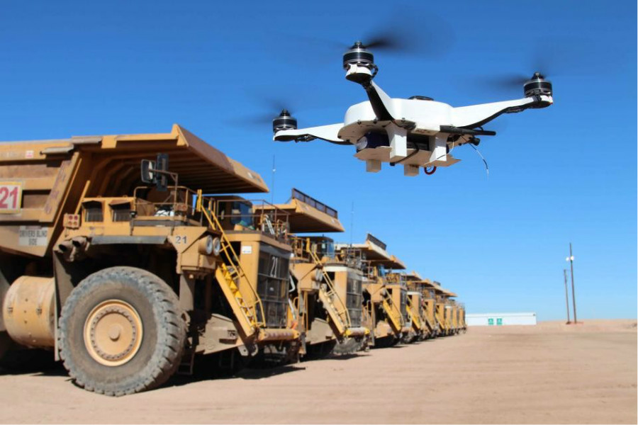
Added value available for Topcon-equipped drone
Topcon Positioning Group announces the Intel Perpetual License Inspection-Surveying provision for the Intel Falcon 8+ Drone – Topcon Edition will now be included with the system. “Professional operators will no longer need to purchase the license separate from the drone, which will result in significant cost savings and added value for their investment,” said Charles Rihner,…
-
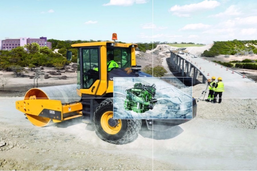
Earthworks Tools combine with aerial intelligence to improve project success
Meeting schedules, staying on budget, and following design plans are the core principles for companies performing earthwork operations. Having a balance between these three responsibilities is a difficult task and requires the right combination of technologies to be successful. An enterprise aerial intelligence platform with purpose built earthwork analysis tools is giving construction and engineering…
-
When artificial intelligence meets the construction industry
—
by
in Aggregates Equipment, Asphalt Equipment, Attachments, Breakers, Compaction, Companies, Compressors, Concrete Equipment, Construction Software, Crushing & Screening, Demolition, Drilling, Earthmoving, Engines, Excavators, Generators, Graders, Hammers, Lifting, Loaders, Management & Maintenance, Material Handling, Pipes and Pumps, Safety & Security, Safety and Security, Scraper, Site Preparation, Surveying, Surveying and Location, Technology, Telematics and Machine Control, Tools, Transport, Trucks, Tyres, Underground utilities & PippingSo, what exactly is artificial intelligence? It is a collective term used to describe when a machine mimics human cognitive functions, like problem-solving, learning, and pattern recognition. AI includes a process called machine learning, whereby algorithms are used to enable a machine to learn from the data it is exposed to. Therefore, the more data…
-
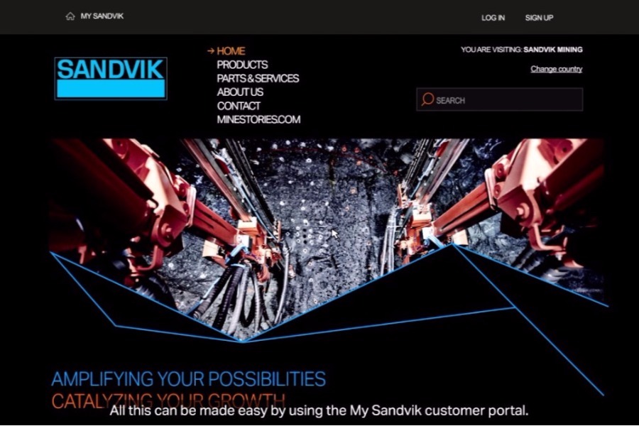
My Sandvik portal for around-the-clock operations
Sandvik Mining and Rock Technology has developed an advanced eCommerce platform that places comprehensive fleet information at the fingertips of customers to facilitate quicker access to aftermarket services including parts ordering. The My Sandvik customer portal provides an always available solution for fleet managers or procurement staff to gather machine specific information for everyday fleet…
-
Volvo launches Dig Assist in North America, an intuitive machine control solution for crawler excavators
The latest in a suite of programs offered for the Volvo Co-Pilot interface — Dig Assist provides real-time guidance for operators to ensure job parameters are met more quickly, more accurately and with improved site safety. Volvo Dig Assist unlocks the full potential of an excavator’s productivity. Utilizing Volvo Co-Pilot — the award-winning in-cab interface…
-
Caterpillar Ventures Invests in Airware to Advance Work Site Intelligence through Aerial Data at Scale
Airware, which provides end-to-end solutions that turn aerial data into actionable business intelligence for enterprises, announced today that it has secured a strategic investment from Caterpillar Ventures. The investment allows Airware to accelerate programs that enable dealers to offer solutions and services within the construction, mining, and quarrying industries, and highlights Caterpillar’s commitment in leading…
-
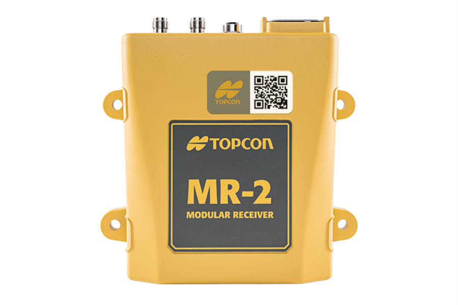
Topcon announces new modular receiver MR-2 GNSS receiver
Topcon Positioning Group announces a new modular GNSS receiver system — the MR-2. The system combines all current and planned constellation tracking with a comprehensive set of communication interfaces to service any precision application requiring high performance RTK (real-time kinematic) positioning and heading determination. The MR-2 can perform as a mobile RTK base station, marine…